Categories
Uncategorized

What Should I do When the Radar in My Backyard is Down?

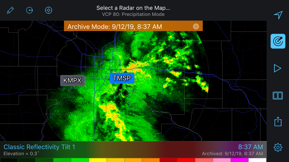
From 1992-1997 NEXRAD, more specifically WSR-88D, radars were deployed across the entire country, giving meteorologists a national look at precipitation. Since the 1990s, radar data has become much more readily available to the public, forever changing and increasing the value of these radars. Radarscope uses such data from NEXRAD radars to produce the stunning images seen in the app today.

Categories
Uncategorized

What is mPING and Why is it Filling My App?

Similar to customer reviews, select advertising campaigns, and other initiatives, mPING uses crowdsourcing to collect useful data and, in this case, weather data. The initiative, mPING (Meteorological Phenomena Identification near the Ground) was implemented in 2012 by NOAA’s National Severe Storms Laboratory as a way to collect public weather reports. Think of it as Waze for weather.