
NEXRAD radars employ algorithms to calculate a predicted track of a storm. The calculation of these tracks begins with the algorithm, known as Storm Cell Identification and Tracking (SCIT).
SCIT searches reflectivity data to create a path. If a storm cell is present in two consecutive volume scans and the time between the scans is less than 20 minutes, a motion vector is calculated. A track based on this vector is computed and displayed. This track can extend from 15 minutes to an hour into the future.
To view storm tracks in RadarScope, tap the settings icon in the lower right of the screen, then choose Layers and turn on the Storm Tracks option. The estimated times of arrival can be seen by touching anywhere along the track.
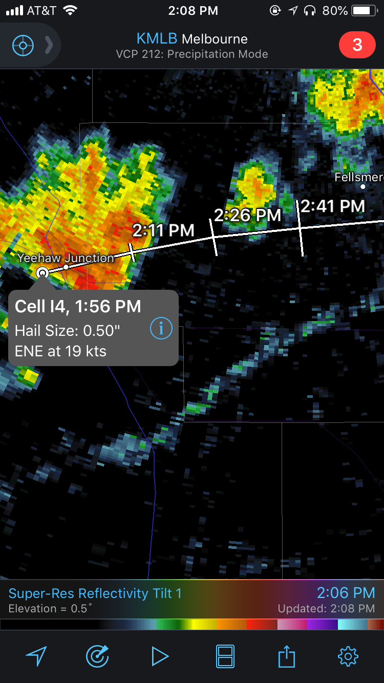 Example of a Storm Track in RadarScope
Though the storm tracks that are displayed in RadarScope can give you an idea of where a storm may be headed, there are some limitations to keep in mind. The SCIT algorithm tends to perform better when cells are isolated, and not part of a cluster of storms or a squall line. Summertime storms may have tracks wiggle and are not straight-forward due to weak winds. While the algorithm identifies the center of the storm, users of the storm track feature should be aware of the fact that the center does not always correspond with the hazards.
{{cta(‘7adc9887-5a2e-4a2c-90de-3d3a733f8912′,’justifycenter’)}}


