
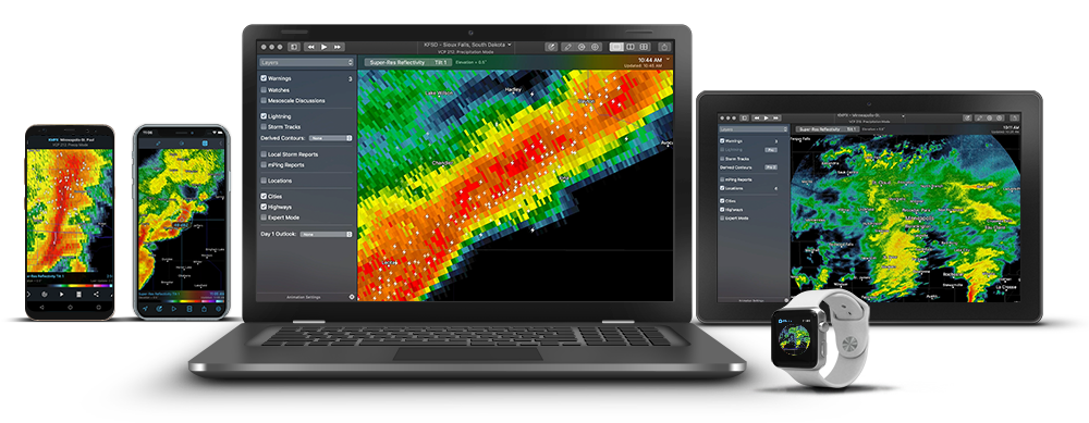


We've built a companion app for each leg of your trip. Track your current location in reference to impending weather to ensure safety on your ride.
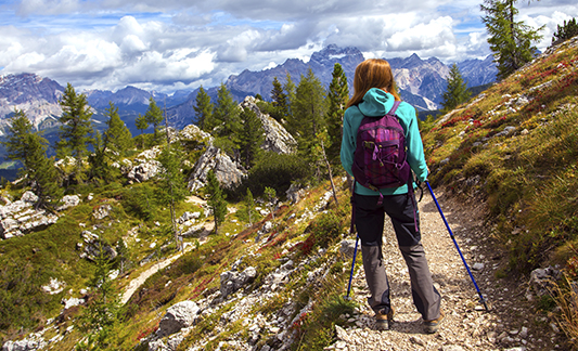
A primary environmental threat for hikers is lightning. The best way to stay safe is by anticipating extreme weather changes while on the trail.
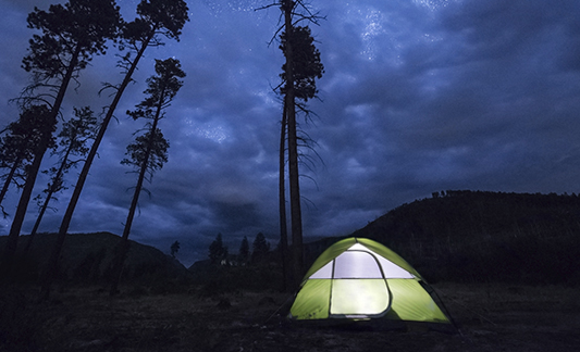
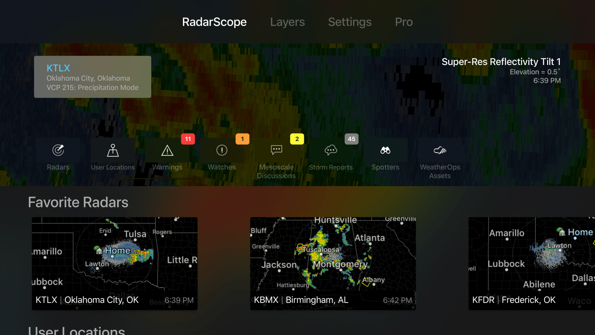
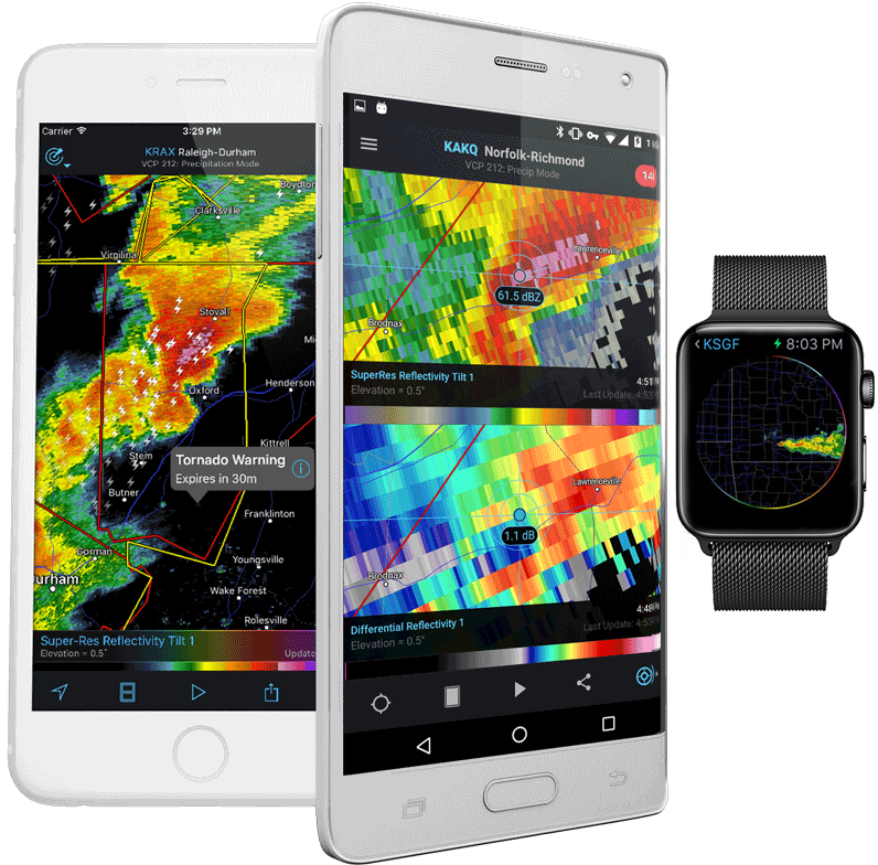
An unexpected storm can wreak havoc on your weekend. Travel and camp safe with detailed storm information at your fingertips.

High winds and lightning are enormous threats to fishermen, recreational boaters and marina operators. Know when to go with precision weather radar.

You need to know where hail fell and you need that data before your competitors. RadarScope is here to change how you do business with real-time hail contouring.

We help you take the guesswork out of driving in and around adverse weather. Our app is powerful enough to keep drivers out of harm's way and on schedule.

Know when to pack it up with real-time lightning strike info at your fingertips. Ensure crew safety with the most accurate and fastest lightning information available.

Rain? Snow? Wind? Hail? Accurately predict surge timing and up your side hustle potential by utilizing weather radar.

Finalist

AMS Special Award

Honorable Mention

Official Honoree

