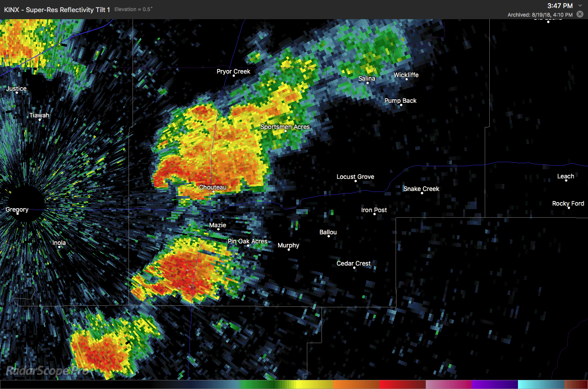
Normally when you hear that there is a drought in Oklahoma, you think of a lack of water, and the vegetation turning brown as it swelters in triple-digit heat. However, there has been a tornado drought in 2018. For a state that averages 62 tornadoes per year, the official numbers through mid-August bring the count to only 23. Needless to say, it’s been a slow one for tornado chasers in Oklahoma this year.
Categories
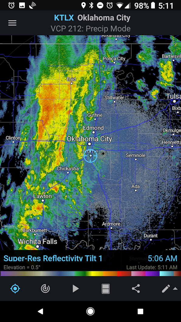
An Oklahoma August Tornado