Categories
Uncategorized

Introducing RadarScope for Apple TV

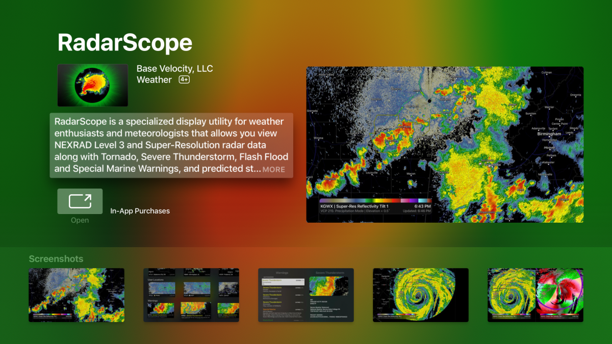
We’re pleased to announce the release of RadarScope for Apple TV. We redesigned the app to create an experience that feels at home on tvOS and leverages the platform’s unique UI. It’s available in the App Store today for $9.99, but it’s free for anyone who has already purchased the iOS version.

Categories
Uncategorized

Inside the Hail Detection Algorithm

Hail can be a significant hazard in a storm. Understanding the hail size determined by radar can help assess the potential threat to an area.

Categories
Uncategorized

Tornado Signatures in Hurricanes

When hurricanes and tropical storms make landfall, tornadoes can often become a byproduct. Usually, these tornadoes are weak. However, they can occasionally be strong enough to produce significant damage.

Categories
Uncategorized

Do You Know What Tornado Debris Signatures Look Like?

Are you comfortable with looking at RadarScope data and finding hook echoes and areas of rotation? If so, the next step is to learn how to use dual-polarization products to look for debris being lofted by a tornado. Let’s take a look at how to pick out a Tornado Debris Signature (TDS).

Categories
Uncategorized

An Oklahoma August Tornado

Normally when you hear that there is a drought in Oklahoma, you think of a lack of water, and the vegetation turning brown as it swelters in triple-digit heat. However, there has been a tornado drought in 2018. For a state that averages 62 tornadoes per year, the official numbers through mid-August bring the count to only 23. Needless to say, it’s been a slow one for tornado chasers in Oklahoma this year.

Categories
Uncategorized

How to Identify Hail Spikes

When large hail develops in a thunderstorm, some of the radar beam’s energy observing the hailstone is reflected downward toward the ground, as well as back to the radar. This motion can create an echo known as a Three-Body Scatter Spike (TBSS) or a hail spike.

Categories
Uncategorized

From Outlooks to Warnings, v3.8 Has it All

The release of RadarScope 3.8 has added features that can not only prepare you for the potential for severe weather but can provide more information about storms once they develop. Some of these features include the Day 1 Convective Outlooks and Local Storm Reports, which are available with a RadarScope Pro Tier 2 subscription. Both of these features can be accessed in the Settings menu under Layers.

Categories
Uncategorized

Observing Insects in a Boundary

Severe thunderstorms developed across portions of western Kansas and eastern Colorado on Friday, July 27, 2018. In the midst of these thunderstorms, a persistent line developed, extending from northeast of Stratton, Colorado to southeast of Goodland, Kansas.

Categories
Uncategorized

Have You Heard of a Mesoscale Convective Vortex?

A Mesoscale Convective Vortex (MCV) is similar to larger-scale areas of low pressure except for the size. Typically they have a diameter of 30-60 miles, depth of up to 3 miles, and develop in the mid-levels of the atmosphere. Squall lines, or Mesoscale Convective Systems, are often the cause of their development.

Categories
Uncategorized

Identifying Microbursts in Radar Data

Radar can be an essential tool in identifying potential weather hazards. One particular danger that can pose risks to property, and especially aviation, is a microburst.